
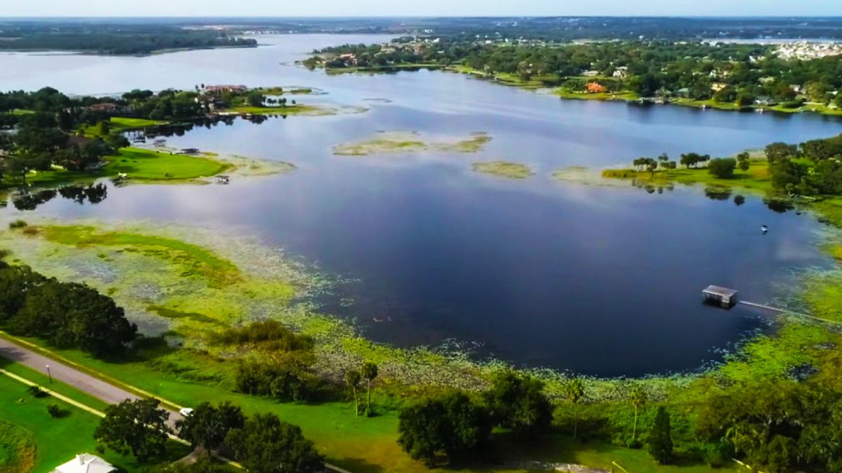
Johns Lake sits in western Orange County near Winter Garden. The Orange County Water Atlas records a surface area of approximately 2,580 acres, a mean depth of 12 feet, and a place within the Lake Apopka watershed. Those facts provide useful context, while current water, weather, access, and vegetation still need to shape the fishing plan.
Johns Lake is one of the areas Captain Erik serves for guided bass and crappie trips. Use the dedicated Johns Lake fishing guide page to review current rates, access planning, and booking questions before choosing a date.
Understand the water before choosing a technique
Lake maps and aerial images can help an angler identify the broad structure of Johns Lake, but they cannot show the day’s water level, vegetation, clarity, traffic, or weather. Orange County’s monitoring resources also demonstrate why “normal” conditions should not be assumed from a years-old article.
Begin with observations rather than a preset lure list:
- Note water clarity, wind direction, available cover, and surface activity.
- Use mapping and sonar to understand changes in depth and bottom composition.
- Look for transitions—open water to vegetation, a contour change, or two forms of cover meeting.
- Change speed and depth deliberately when the first presentation does not produce useful feedback.
Build a small, adaptable bass selection
The archived article listed nearly every popular bass lure. A more practical approach is to carry a few presentations that cover different depths and speeds.
Topwater lures can cover the surface when conditions and fish activity support them. A moving bait such as a swimbait, vibrating jig, or lipless crankbait can search water efficiently. A Texas-rigged soft plastic or jig can work through cover more deliberately. A finesse presentation gives the angler a slower alternative when a faster search does not fit.
The right rod, line, hook, and lure weight depend on the cover and presentation. Dense vegetation often calls for more control than open water. Instead of copying one line-test recommendation from the internet, match the complete setup to the lure, cover, and fish-handling needs.
Let seasons guide questions, not promises
Bass location and behavior change as weather, water temperature, water level, forage, and spawning activity change. Seasonal labels are helpful only as a starting hypothesis. A warm winter day can fish differently from the week before; a summer morning can change as light, wind, and boat traffic build.
That is why a useful plan includes alternatives. Decide which areas and presentations you will check first, what evidence would make you stay, and what would make you change depth, cover, or speed. This decision process is more durable than a promise that one named lure is always the “best” choice for a month.
Check access, water quality, and regulations near the trip date
Do not rely on the old article’s ramp hours, parking count, fee claims, or fishing rules. Access and public-health information can change. Review the Orange County Water Atlas Johns Lake record, current local access information, and FWC license guidance shortly before fishing.
The Water Atlas includes long-term monitoring data, which is valuable context but not a substitute for a current advisory. Avoid contact with water that has a visible bloom or other posted health warning, and follow the latest guidance from the responsible agency.
Decide whether a guide trip fits
When comparing guides, ask direct questions: Is the requested lake currently served? What is the trip’s fishing focus? Which boat and equipment arrangement applies? Where will you meet, and what should each guest bring? What happens if weather or access changes?
Tilson’s Guide Service publishes rates centrally, but location and service availability still need confirmation. Captain Erik guides on Johns Lake and the Kissimmee, Harris, Winter Haven, and Butler chains, along with Auburndale-area lakes. Each location profile explains verified facts and the planning questions specific to that water.